UTILITY SURVEYS
Underground utility surveys are carried out using a combination of Electromagnetic Location (EML) and Ground Penetrating Radar (GPR) methods to accurately detect and map buried services.

OUR PROCESS
All detected utilities are physically marked and spray-painted on the ground, with the information transferred onto a topographical/land survey and delivered as a final drawing in AutoCAD format.Our underground utility surveys are referenced to the Ordnance Survey National Grid (OSGB36) and Ordnance Datum (AOD), ensuring full compatibility with national mapping and engineering standards.
QUALITY & DELIVERABLES
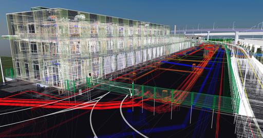
Survey data is post-processed in-house using dedicated survey mapping software and rigorous QA/QC procedures. This ensures consistent, reliable results, delivered in a range of industry-standard 2D and 3D formatsBENEFITS
Accurate detection of buried utilities
Reduced risk during excavation and construction
Compliance with national standards
Seamless integration with design and construction workflows
''
''
SUSSEX OFFICES
Foresite Geomatics are proudly based in Burgess Hill, West Sussex.
EMAIL US
Contact us via email with your project requirements.
CALL US
Call our team on 01444 672090 to discuss your project requirements.